Australia is a huge country, with many diverse landscapes, from the red vastness of the outback to bustling cosmopolitan cities. While sometimes there is no mistaking a landmark (Uluru, Sydney Harbour Bridge) in many other cases the landscape repeats across the country. That salt lake, is that in WA's goldfields, or northern South Australia? This cool ferny glade - Tasmania, or Victoria's Otway Ranges? Rugged breakaway country - near Coober Pedy, Winton, or Broken Hill? Green rolling hills - Queensland's Atherton Tableland or Gippsland in Victoria? And as for dry eucalypt scrub, that could be almost anywhere!
So if you wake up one morning with no memory of how you got there, what clues tell you where in Australia you are? One way is to take a look at the nearest road, the states have surprising differences in their road network. The first thing is to check out the speed limit. If it is 130 kmh, then you are in the Northern Territory, the only place in Australia that allows such a speed. And even then the locals complain about the nanny state interfering with their right to go as fast as they like! If it is 110 on a narrow winding road, then you are probably in Western Australia. Virtually all roads in WA outside town boundaries have a 110 kmh speed limit, despite many of them not being engineered for such speeds. It can be pretty scary towing the van through the undulating tall timber country of the south west of the state, with vehicles roaring around curves towards you trying to cling to roads that have the incorrect camber! A speed limit of 100 kmh on a wide open country road probably means you are in Victoria or NSW within a couple of hundred kilometres of the capital city. Unlike the more laissez faire states to the north and west, Australia's two most populated states are reluctant to let anyone let rip until they are well away from the eagle eye of government.
Another clue can be found on the roads by looking at the distance markers. In Victoria, NSW and Tasmania, you will generally find them every 5km, whereas the other states tend to stretch them out to every 10 km once you get away from the main cities. Queensland adopts a more random approach, sometimes there will be 20km between signs, then all of a sudden three in a row 5km apart. You can always tell if you are in South Australia - although only 5km apart they economise by only having one sign doing duty for both directions of traffic. So each marker will have one side indicating standard distances such as 55, 50 and so on, the other side will have some progression such as 47, 42, 38 ..... The other thing about distance markers is that in the north of Western Australia and in the Northern Territory, there are so few towns that the distance markers will often measure between roadhouses, which are still likely to be several hundred kilometres apart. On the Barkly Highway heading west across the Northern Territory there is so little of note that the distance markers indicate the distance to the Stuart Highway!
The last clue to your location you might get from the nearest road can be found by checking out the rest stops. In Victoria and NSW they are few and far between, although when you do find one they generally have a toilet. South Australia and Queensland are perhaps better provided for in the number of rest stops, but toilets are less common. Western Australia is by far the best provided in the rest stop department. While the major rest stops with facilities such as toilets and picnic tables are no more frequent than in other states, there is generally no more than 20 km between minor rest stops, where you can pull off the road for lunch or to change drivers. In the Northern Territory they have hardly any rest stops, which perhaps explains why the occasional roadhouse is usually buzzing with travellers rushing inside, then emerging a few minutes later with a look of relief on their faces!
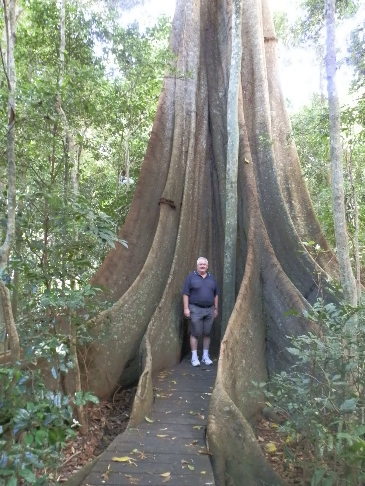 Imbil is in the hinterland of the Sunshine Coast, about 40 km south of Gympie. When we first got here we thought it wasn't going to live up to its name, as the forecast was for showers and storms all week, however after some drizzle on the first day the weather bureau changed their minds, and it has been glorious sunshine for the rest of our stay. The main industry around here is timber, and Imbil is surrounded by forests and national parks, including the Imbil State Forest right on our doorstep. We have, of course, done quite a bit of walking, as well as spending time driving around the scenic countryside.
 John will remember Imbil for his wildlife encounters. The caravan park we are staying at also has deer, and at some time in the past there have obviously been escapees, so feral deer now live in the surrounding forest. John was most surprised one night to encounter a full grown doe right outside the men's toilet block, luckily it responded appropriately to a gentle shoo. Not quite so pleasant was the leech that attached itself to John's foot during one of our forest walks. It somehow managed to slip through his sock to feast on his blood, swelling up to several times its initial size. The advice given in the national park brochure is to sprinkle it with salt, but lacking that we eventually got tired of waiting for it to gorge itself and drop off and Wendy rather squeamishly pulled it off with a tissue. The bleeding took quite a long time to stop, and after that John was much keener on the scenic drives than the forest walks!
 The highlight of our stay was our day trip on the Mary Valley Rattler, a steam train that runs from Gympie to Imbil. The train runs along the line built in 1914 to service the towns of the Mary Valley. Services on the line ceased in 1994, but already locals were planning to run a tourist train service on the disused line. The Mary Valley Heritage Railway commenced operations in 1998 and has proved a popular attraction. One very interesting part of the day is watching the turntable used at Imbil to turn the locomotive around so it can do the return journey to Gympie. The engine only just fits on the turntable so the driver has to position it exactly, a feat achieved by the low-tech device of lining himself up with a piece of cloth tied to the railing!


